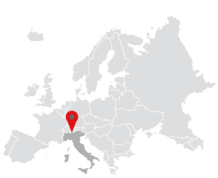
The upper valle Spluga throws up countless sports and hiking opportunities, but that&´s not all. Any "enlightened" rambler can&´t fail to appreciate the geographical and cultural character of the Spluga Pass. Sufficient to understand that “Cunus Aureus”(the Latin name of the Roman period given because of the potential presence of gold ore) or Splügenpass, is situated on the Italian/Swiss border which connects Lombardy with the upper Rhine valley.
It&´s a natural divide between the Lepontine Alps and the Rhaetian Alps and according to the SOIUSA classification the western Alps from their eastern counterparts. The pass, recognised by many as the "sublime pass", was adopted in ancient times as it served up in addition to a natural beauty, easy transit for goods, animals, travellers, and last but by no means least, invading armies.
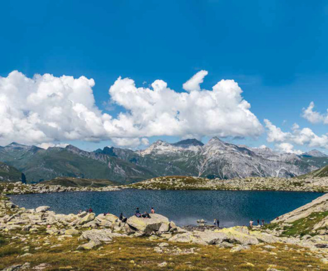
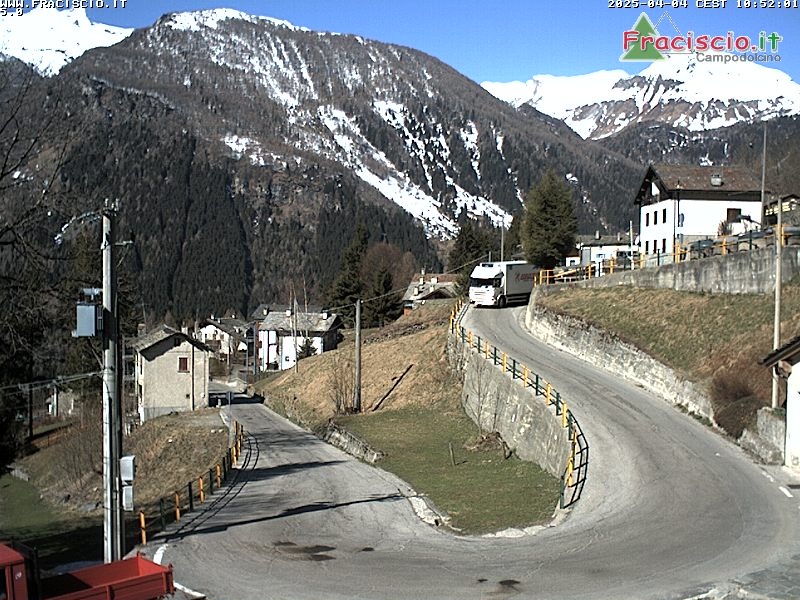
The proposed itinerary begins right at the "passo sublime" itself, which means leaving the car in the parking lot near the customs buildings. We climb the eastern side through meadows in Swiss territory, and meet the path and signposting. The pathway continues and the route is clear, though there are typically swiss trail signs (white, red, white) taking us through a series of gentle hairpin bends and planting us on the plateau on which the magnificent blue Lake Bergseel (2309m) sits blinking. The panorama is simply amazing, to the west the Lepontine, pizzo Tambò, to the north and below us the road with its incredible pattern of twists and turns stretching down towards Splugen, and in the distance the Schollenhorn, the Alperschallihorn, and, Steilerhorn and further right the Corni Neri which connects to the ridge of pizzo Suretta to the east. Having circumvented the lake along the right bank, we head south-east where a somewhat challenging climb awaits, at times on unstable and slippery stony ground. With the utmost caution and following the regular signposting we reach the edge of the rocky basin of lago Azzurro.
Ignoring the signposts indicating the way to the Suretta bivouac to the left, we take the direction indicated on a boulder to the right and land on Italian territory. We will shortly arrive at the larger of the two lakes (m. 2445) and head around it on the western bank. Captivated by this far-flung environment, natural, rugged, yet awe-inspiring, immersed in silence and reflection we duly and gradually reach the second lake, smaller but no less appealing. Just to the south there&´s a magnificent view overlooking the reservoir at Montespluga and we have the option of heading down along the C15 path directly to the village itself. That will be served nicely by having had the foresight to use two cars, one left in Montespluga and one at the Pass. Otherwise the return route will be the same as the ascent.
